Category: climate science
-
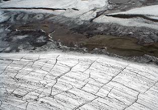
Canada’s ice cores seek new home
Confusion over fate of valuable climate record chills researchers. An unusual ‘help wanted’ advertisement arrived in the inboxes of Canadian scientists last week. The e-mail asked the research community to provide new homes for an impressive archive of ice cores representing 40 years of research by government scientists in the Canadian Arctic. The note was sent out…
-
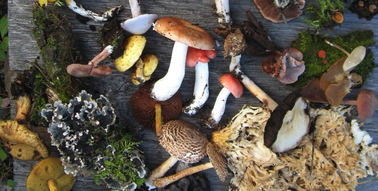
Banking on biodiversity
The diversity of life on Earth gives ecosystems the resilience they need to thrive. Yet every day scores of plants and animals go extinct, victims of activities we humans undertake to feed, clothe, house and transport ourselves. How can we meet our own needs without destroying that which sustains us? The west coast of Vancouver…
-
Cold cash for cold science
The recent funding wrap-up from the international polar year (IPY) has left many Canadian researchers scratching their heads, trying to find a way to continue their arctic science projects. A new grant from the Natural Sciences and Engineering Research Council of Canada may help close that research-funding gap. In its announcement yesterday, NSERC opened a…
-

River metals linked to tar sand extraction
Researchers find that pollutants in Canada’s Athabasca River are not from natural sources. Oil-mining operations in Canada’s main tar sands region are releasing a range of heavy and toxic metals — including mercury, arsenic and lead — into a nearby river and its watershed, according to a new study. Research published online yesterday in the…
-
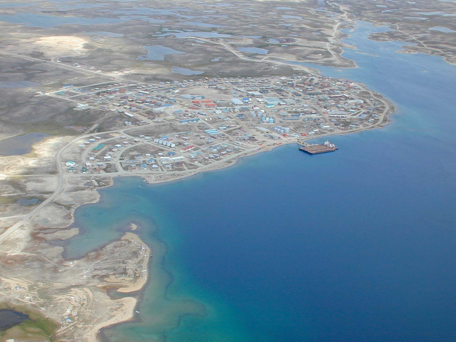
Canada picks site for Arctic Research Station
Cambridge Bay location offers a wealth of opportunities for studying the far north. After months of deliberation, the Canadian government has chosen Cambridge Bay — a hamlet midway along the Northwest Passage in the country’s far north — as the site for a world-class Arctic research station. Once built, the station will house scientists all…