Category: environment
-
Banking on biodiversity
The diversity of life on Earth gives ecosystems the resilience they need to thrive. Yet every day scores of plants and animals go extinct, victims of activities we humans undertake to feed, clothe, house and transport ourselves. How can we meet our own needs without destroying that which sustains us? The west coast of Vancouver…
-
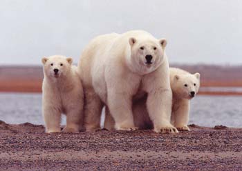
US polar bears mark their territory
More than two years after Alaskan polar bears were given a protection status of “threatened species” by the US Endangered Species Act, the Obama administration set aside on Wednesday 24 November 484,330 sq kilometres — twice the size of the UK — in Alaska as “critical habitat”. Almost all of the area is offshore sea ice…
-
Cold cash for cold science
The recent funding wrap-up from the international polar year (IPY) has left many Canadian researchers scratching their heads, trying to find a way to continue their arctic science projects. A new grant from the Natural Sciences and Engineering Research Council of Canada may help close that research-funding gap. In its announcement yesterday, NSERC opened a…
-
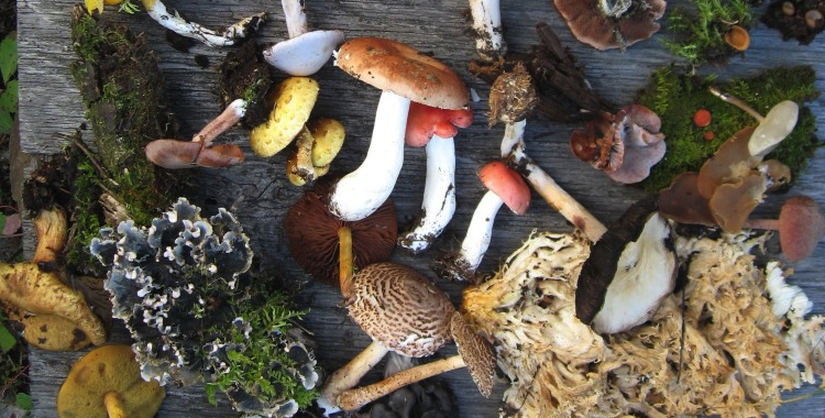
Free Radicals Radio: Bring on the bugs!
Babes in the woods Get outside Can a walk in the woods really change us? Scientists are beginning to think so. There’s evidence to suggest that being in a busy city environment can reduce the brain’s capacity to remember things and lower self-control. Kids are driven to school and back, and off to soccer practice,…
-

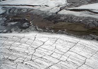
Collapse of the ice titans
Nature Monitoring Greenland’s melting glaciers from a 15-metre long sailboat. In early August, a 260-kilometre-square chunk of ice broke off the Petermann Glacier — the largest iceberg to calve in the Arctic Ocean since 1962. The collapse didn’t surprise Richard Bates, a geophysicist from the University of St Andrews, UK. During a visit to Petermann…