Category: features
-
The painted brain: how our lives colour our minds
The brain arrives shortly after lunch. It rests on the lab bench, in a Styrofoam box plastered with “Urgent Delivery” and “Fragile” stickers, while two research assistants prepare the dissection laboratory. One has tuned a small radio to a classical station. The sounds of bassoons and strings waft into the room. The opus is an…
-
Banking on biodiversity
The diversity of life on Earth gives ecosystems the resilience they need to thrive. Yet every day scores of plants and animals go extinct, victims of activities we humans undertake to feed, clothe, house and transport ourselves. How can we meet our own needs without destroying that which sustains us? The west coast of Vancouver…
-

Few bats for Quebec’s belfries. White-nose syndrome killing North American bats.
Photograph by: Nancy Heaslip, New York Department of Environmental Conservation MONTREAL – In March, Frédérick Lelièvre found himself crawling through a narrow passage into the final chamber of the Laflèche Cave in Val des Monts. Raising his eyes to the hibernating bats on the rock above him, his heart dropped. The tiny lime-size animals were…
-
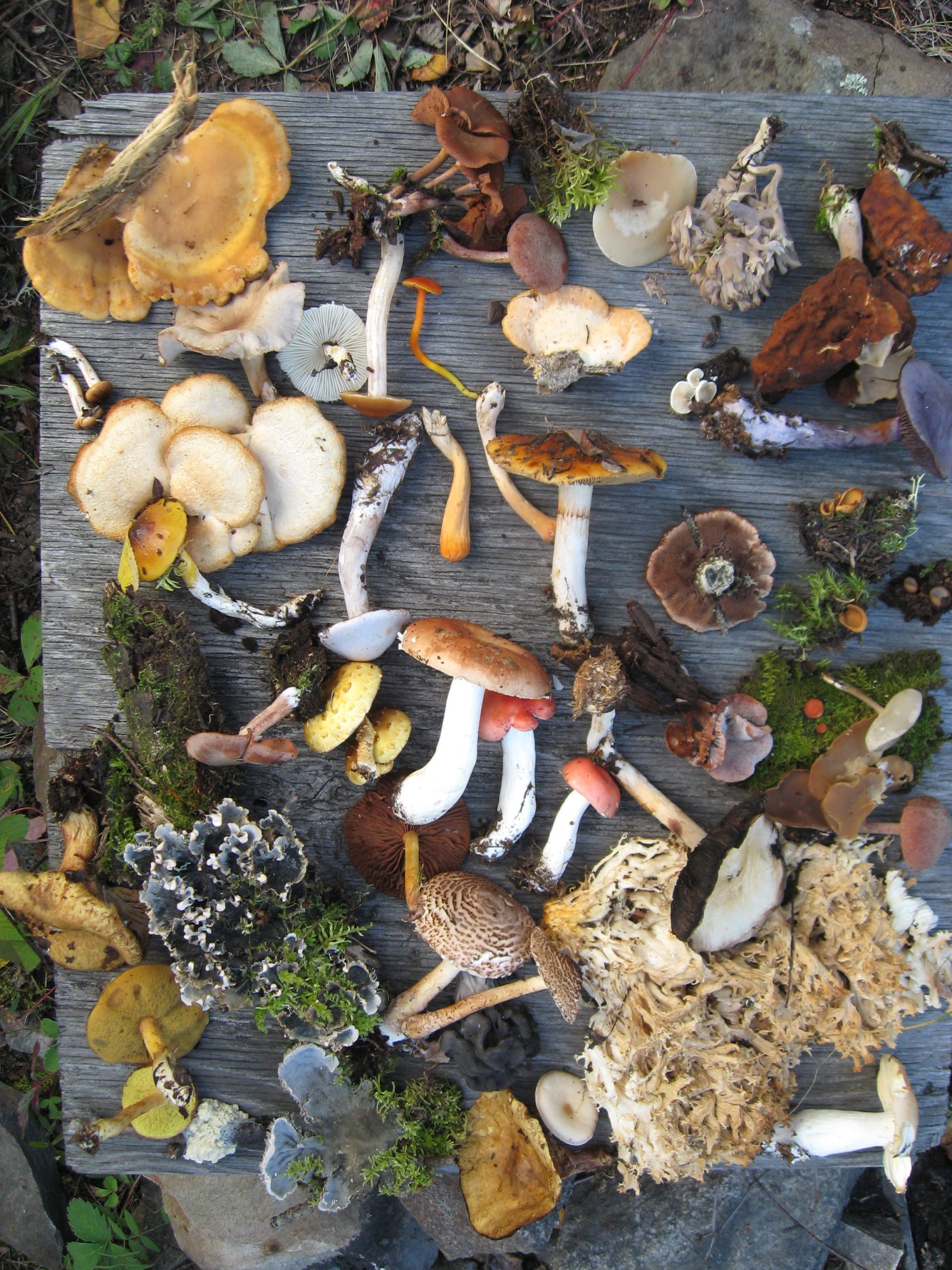
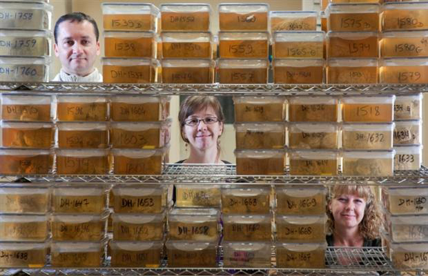
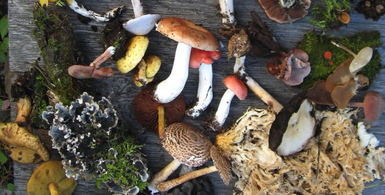
Confronting the biodiversity crisis
In 2002, the world’s governments agreed to significantly slow the rate of biodiversity loss by 2010. Time is almost up, and by most accounts they’ve failed. Now that climate change is emerging as one of biodiversity’s greatest threats, scientists are proposing new ways to tackle the crisis. Hannah Hoag reports. Barcoding life In July 2009,…
-
Unearthing North America’s First French Colony
In 1541, France established Fort Charlesbourg-Royal in what is now Québec City. Two years later, it was abandoned. The site was discovered in 2005, and archaeologists are trying to understand what took place at the settlement. On a forested outcrop at the western limit of Québec City, Gilles Samson makes his way across an archaeological…