Tag: ecosystem service
-
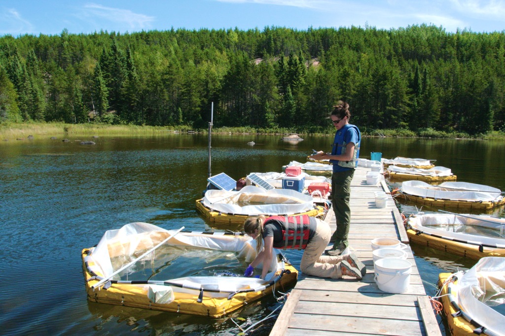
Glimmer of hope for freshwater research site
This story was originally posted on the Nature News Blog. The government of Ontario, Canada, has stepped in to keep open the Experimental Lakes Area (ELA). The freshwater research facility, located in northern Ontario, was closed in March by the government of Canada, despite protests from scientists. Ontario premier Kathleen Wynne announced today that the government of…
-
Banking on biodiversity
The diversity of life on Earth gives ecosystems the resilience they need to thrive. Yet every day scores of plants and animals go extinct, victims of activities we humans undertake to feed, clothe, house and transport ourselves. How can we meet our own needs without destroying that which sustains us? The west coast of Vancouver…
-
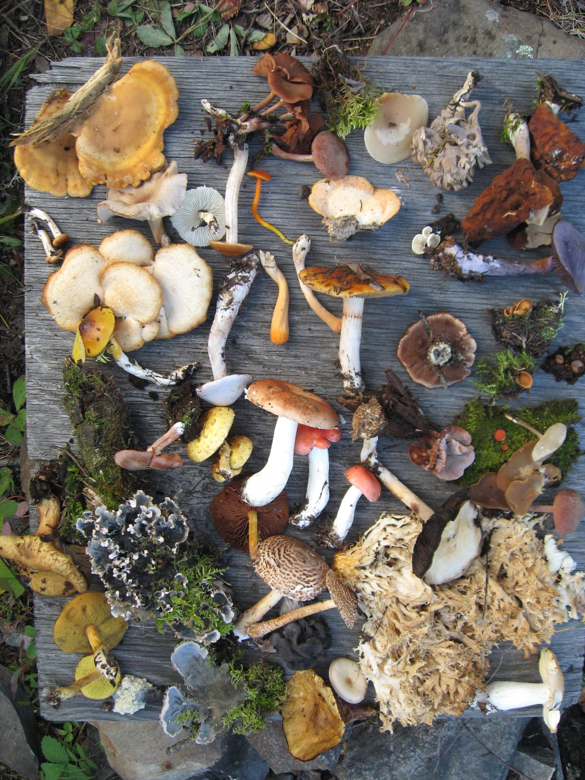
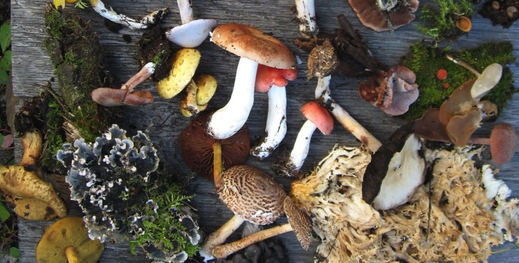
Confronting the biodiversity crisis
In 2002, the world’s governments agreed to significantly slow the rate of biodiversity loss by 2010. Time is almost up, and by most accounts they’ve failed. Now that climate change is emerging as one of biodiversity’s greatest threats, scientists are proposing new ways to tackle the crisis. Hannah Hoag reports. Barcoding life In July 2009,…