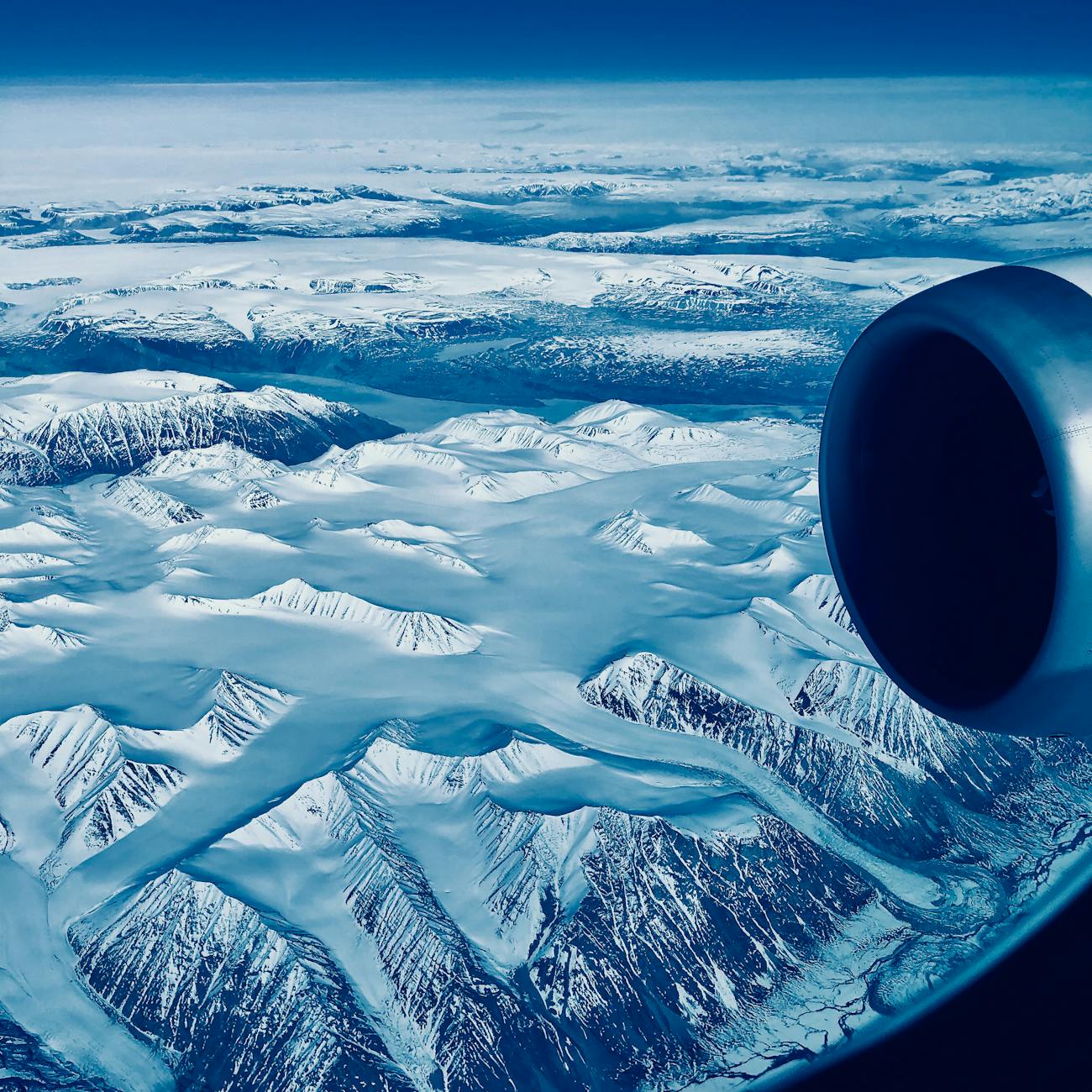
Tag: Greenland

  • Greenland: A tale of fire and ice

    Greenland: A tale of fire and ice

    During the summer of 2012, fires exploded across the drought-stricken Colorado Front Range—a heavily populated area where the Great Plains meets the Rockies. One evening in early June, lightning struck a tree in the foothills west of Fort Collins. It ignited a fire that burned quietly for a few days and then rocketed downslope, fueled by a windstorm and bone-dry trees, dead from a mountain pine beetle infestation, and engulfed 30 square miles of forest in a single day.

    “This is the fire we always worried we might have,” Larimer County Sheriff Justin Smith had said at a news conference that night. The High Park fire grew to 136 square miles—four times the size of Manhattan. It was, at the time, the second-largest fire recorded in Colorado history.

    Jason Box, a glaciologist who grew up in Colorado, watched the disaster play out on television in the departure area at LaGuardia Airport in New York. “People were glued to the screens,” he says. Box, then a professor at the Ohio State University who now works for the Geological Survey of Denmark and Greenland, was waiting for a flight that would take him to Greenland for the 2012 field season to study the dynamics and melting of the Greenland ice sheet. He suddenly had a thought: Could soot from the wildfires melt Greenland’s ice sheet?

    Scientists have known for years that soot reduces the ability of snow and ice to reflect solar radiation back into space. They’ve found tiny black particles in the Arctic snow and ice that have come from the burning of fossil fuels, agricultural fields, trees, and grasslands thousands of miles away. Pure white snow is highly reflective—it has an albedo of 0.9, meaning it returns 90% of the solar energy that hits it. But snow that’s darker—say, if it is covered with soot—absorbs the sun’s energy, warming, melting and becoming even darker. It then absorbs more energy, launching a positive feedback cycle that causes local—and even regional—warming.

    If this cycle were to happen on a large scale in Greenland, it could spell trouble for the ice sheet, which holds 8% of the Earth’s freshwater and is suspended frozen atop the bedrock. If the ice sheet melted entirely, global sea levels would rise 23 feet. Yet even one foot—a plausible scenario that could play out within the next 35 years—would be enough to inundate millions of homes and send the cost of coastal damage from erosion, storm surges, and salt water encroachment soaring. Combined with the recent news that the West Antarctic ice sheet is already collapsing—which itself could release enough water to raise sea levels 13 feet—our descendants are likely looking at a very watery future.

    In Greenland that summer, Box tried to collect snow samples that would allow him to test his hypothesis, but launching a new project on the fly proved impossible. “I underestimated in the end how hard it would be to get those samples,” he says. “It was pretty discouraging.” But because any black carbon from the wildfires would get buried in subsequent snowfalls, he knew he had time. Or so he thought.

    .::. Keep reading this story at PBS’s NOVA Next.

  • Collapse of the ice titans

    Collapse of the ice titans

    Nature

    Monitoring Greenland’s melting glaciers from a 15-metre long sailboat.

    In early August, a 260-kilometre-square chunk of ice broke off the Petermann Glacier — the largest iceberg to calve in the Arctic Ocean since 1962.

    The collapse didn’t surprise Richard Bates, a geophysicist from the University of St Andrews, UK. During a visit to Petermann last summer, with glaciologists Jason Box of the Byrd Polar Research Center at Ohio State University in Columbus and Alun Hubbard of Aberystwyth University, UK, the three noted rifts and meltwater — a sign of pending collapse. They installed time-lapse cameras atop the 900-metre-high cliffs and placed eight Global Positioning System (GPS) units along the glacier’s centre line to monitor the event.

    The researchers returned to Greenland late last month to retrieve the equipment and make other oceanographic and geophysical measurements, but were thwarted in their attempts to reach Petermann by ice. Nature caught up with Bates soon after he stepped off the Gambo, the sailboat that voyaged to the north end of Humboldt Glacier, which the team is also studying.

    What did you see while sailing up the Greenland coast?

    We saw a lot of calving glaciers. One 400-metre-long section of the glacier broke off just after we surveyed it. On our way to the Humboldt Glacier we got close to some major calving. It can seem very dangerous to have such a small boat in front of these glaciers, but you can be a lot more reactive and nimble than in large research vessels. But once you’re stuck in the ice, you’re stuck. We were pushing it a bit last week.

    Richard Bates.

    What work did you have planned for this trip?

    We worked our way up from central Greenland — the Lille, Store and Rink glaciers. We took time-lapse measurements and looked at the submerged portion of the glacier to see how fast the front is changing. We’ve been finding out that the submarine melt rates can be 20–100 times faster than the above-surface melt rates. We’re using a laser scanner to measure the changes above the water and using a sonar to look at the melt rates below the water.

    → Read the entire Q&A with Richard Bates at Nature.

    Richard Bates photo courtesy of Richard Bates, Petermann Ice Island photo courtesy of NASA.